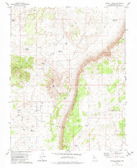
1979 Map of Russell Spring
USGS Topo · Published 1982About this map
Hurricane Cliffs dominate this portion of the Arizona Strip, creating a massive geological divide between the Upper Hurricane Valley and Lower Hurricane Valley. The landscape is defined by the management of scarce water resources in a dry environment, evidenced by an extensive network of named ponds and reservoirs. Key features include the Sinkhole Reservoir, Sheep Pockets Reservoir, and the J W Spendlove Reservoir. Human impact is visible through developments like Childers Well and the Iverson Detention Dam, which represent the ranching and land-management efforts of the mid-20th century. The namesake Russell Spring sits at the base of the cliffs, serving as a vital point of interest for local history and geography. Elevated landmarks like Diamond Butte and Twin Butte provide distinct navigational markers across this remote Mohave County terrain.
Find a feature on this map
29 named features on this map. Tap any name to fly to it.
Don’t see what you’re looking for? This feature index may not catch every label — zoom into the map to look around manually.
Map Details
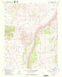
Editions of this 1979 Russell Spring Map
2 editions found
Other maps of this area

1886 · Mt. Trumbull
USGS Topo · 1:250,000

1892 · Mt. Trumbull
USGS Topo · 1:250,000

1953 · Grand Canyon
USGS Topo · 1:250,000

1957 · Grand Canyon
USGS Topo · 1:250,000

1958 · Grand Canyon
USGS Topo · 1:250,000

1960 · Grand Canyon
USGS Topo · 1:250,000
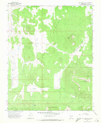
1967 · Mt. Trumbull NW
USGS Topo · 1:24,000
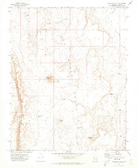
1971 · Antelope Knoll
USGS Topo · 1:24,000
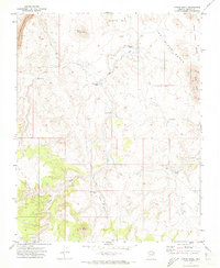
1971 · Moriah Knoll
USGS Topo · 1:24,000
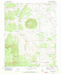
1971 · Poverty Knoll
USGS Topo · 1:24,000