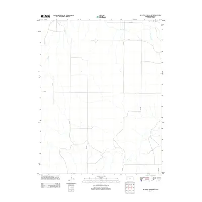
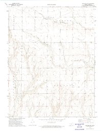
2012 Map of Russell Springs SE
USGS Topo · Published 2012About this map
The Smoky Hill River meanders across the northern portion of this Logan County landscape, carving a natural break in the otherwise strictly ordered section lines of the High Plains. While many of the secondary roads follow a predictable grid, distinctive local routes such as Indian, Mustang, and Lariat cut across the territory, hinting at an era of ranching and early cross-country travel that predates the standard county road numbering system. Farther south, the road known as Elk serves as one of the few named east-west thoroughfares in this sparsely populated region. This survey, compiled from 2010 imagery and 2012 names data, documents the persistent rural character of the plains where the primary human footprint is found in the naming of these long-stretching dirt and gravel tracks.
Find a feature on this map
11 named features on this map. Tap any name to fly to it.
Don’t see what you’re looking for? This feature index may not catch every label — zoom into the map to look around manually.
Map Details
Editions of this 2012 Russell Springs SE Map
This is the sole edition of this map. No revisions or reprints were ever made.
Other maps of this area
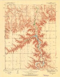
1939 · Lake Mc Bride
USGS Topo · 1:24,000
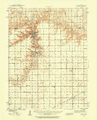
1939 · Sandon
USGS Topo · 1:62,500
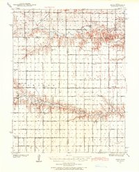
1939 · Pence
USGS Topo · 1:62,500
1941 · Pence
USGS Topo · 1:62,500
1942 · Sandon
USGS Topo · 1:62,500
1942 · Lake Mc Bride
USGS Topo · 1:31,680

1955 · Scott City
USGS Topo · 1:250,000

1958 · Scott City
USGS Topo · 1:250,000
1972 · Russell Springs
USGS Topo · 1:24,000
1972 · Elkader NW
USGS Topo · 1:24,000