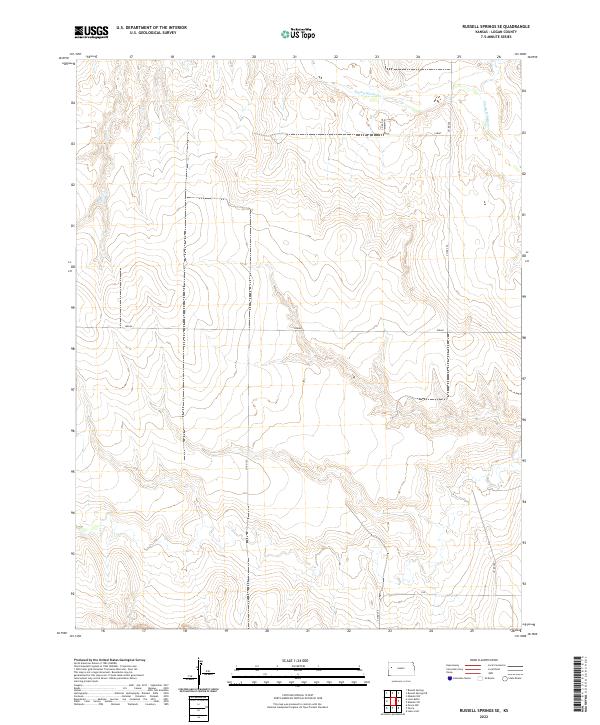
2022 Map of Russell Springs SE
USGS Topo · Published 2022About this map
The Smoky Hill River meanders across the northern reaches of this Logan County landscape, carving a distinct valley through the High Plains terrain. This 2022 survey reveals a sparse, systematic grid of rural transit lines, where roads like Co Rd 350 and Co Rd 320 follow section lines across the open country. Local nomenclature reflects the region's heritage and orientation, with routes such as Lariat, Indian, and Elk providing localized identifiers within the vast Township and Range surveying system. The map primarily illustrates the topographic relief and drainage patterns feeding into the river, highlighting the subtle but significant elevation changes that define the western Kansas prairie in the modern era.
Find a feature on this map
14 named features on this map. Tap any name to fly to it.
Don’t see what you’re looking for? This feature index may not catch every label — zoom into the map to look around manually.
Map Details
Editions of this 2022 Russell Springs SE Map
This is the sole edition of this map. No revisions or reprints were ever made.
Other maps of this area

1939 · Lake Mc Bride
USGS Topo · 1:24,000

1939 · Sandon
USGS Topo · 1:62,500

1939 · Pence
USGS Topo · 1:62,500

1941 · Pence
USGS Topo · 1:62,500

1942 · Sandon
USGS Topo · 1:62,500

1942 · Lake Mc Bride
USGS Topo · 1:31,680

1955 · Scott City
USGS Topo · 1:250,000

1958 · Scott City
USGS Topo · 1:250,000

1972 · Russell Springs
USGS Topo · 1:24,000

1972 · Elkader NW
USGS Topo · 1:24,000