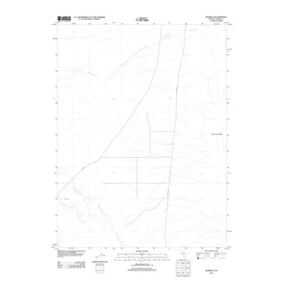
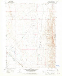
2012 Map of Russells
USGS Topo · Published 2012About this map
McIntyre Slough meanders through the arid Lander County landscape, marking a vital water system in this part of Nevada. The small settlement of Russells is situated along its course, providing a point of human habitation in a region defined by low-lying drainages and the rising slopes of the Sheep Creek Range to the east. Transportation through this open country is facilitated by the intersection of Mote Rd and Izzenhood Rd, which cut across the plains toward the upland terrain. This 2012 survey captures the area's hydrology, including the northern stretches of Sheep Creek, highlighting the sparse but critical network of roads and watercourses that support ranching and transit in the Great Basin interior.
Find a feature on this map
6 named features on this map. Tap any name to fly to it.
Don’t see what you’re looking for? This feature index may not catch every label — zoom into the map to look around manually.
Map Details
Editions of this 2012 Russells Map
This is the sole edition of this map. No revisions or reprints were ever made.
Other maps of this area
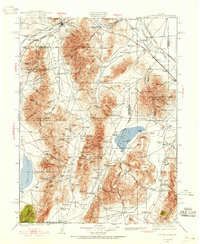
1932 · Sonoma Range
USGS Topo · 1:250,000
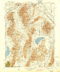
1939 · Sonoma Range
USGS Topo · 1:250,000
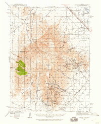
1940 · Antler Peak
USGS Topo · 1:62,500
1943 · Antler Peak
USGS Topo · 1:62,500

1955 · Winnemucca
USGS Topo · 1:250,000
1957 · Battle Mountain
USGS Topo · 1:62,500

1958 · Winnemucca
USGS Topo · 1:250,000
1962 · Winnemucca
USGS Topo · 1:250,000
1965 · Izzenhood Gap
USGS Topo · 1:24,000
1965 · Russells
USGS Topo · 1:24,000