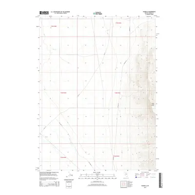
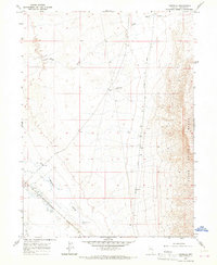
2014 Map of Russells
USGS Topo · Published 2014About this map
Russells sits within a high-desert landscape defined by the prominent eastern wall of the Sheep Creek Range. This 2014 survey captures a region of Lander County where human presence is marked primarily by a network of long-distance roads, including Mote Rd and Izzenhood Rd, which traverse the wide basin. The area's intermittent hydrology is a defining characteristic, seen in the winding course of Sheep Cr and the low-lying McIntyre Slough. These features indicate a terrain that dictates movement and settlement based on seasonal water availability and the sharp rise of the mountains. The map provides a clear picture of the vast Township and Range survey system across these Nevada flats, highlighting the intersection of natural drainage and modern rural infrastructure.
Find a feature on this map
13 named features on this map. Tap any name to fly to it.
Don’t see what you’re looking for? This feature index may not catch every label — zoom into the map to look around manually.
Map Details
Editions of this 2014 Russells Map
This is the sole edition of this map. No revisions or reprints were ever made.
Other maps of this area
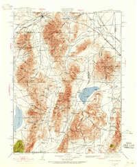
1932 · Sonoma Range
USGS Topo · 1:250,000
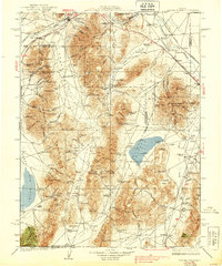
1939 · Sonoma Range
USGS Topo · 1:250,000
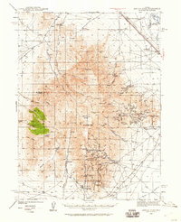
1940 · Antler Peak
USGS Topo · 1:62,500
1943 · Antler Peak
USGS Topo · 1:62,500

1955 · Winnemucca
USGS Topo · 1:250,000
1957 · Battle Mountain
USGS Topo · 1:62,500

1958 · Winnemucca
USGS Topo · 1:250,000
1962 · Winnemucca
USGS Topo · 1:250,000
1965 · Izzenhood Gap
USGS Topo · 1:24,000
1965 · Russells
USGS Topo · 1:24,000