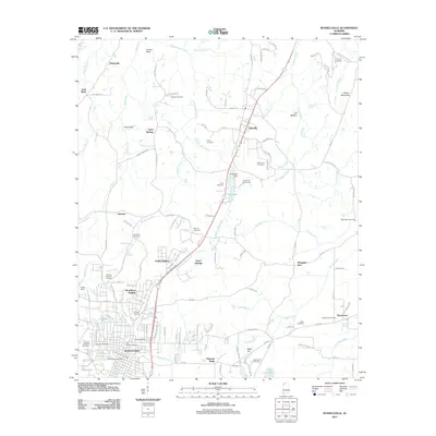
2011 Map of Russellville
USGS Topo · Published 2011About this map
Russellville serves as the commercial hub in this 2011 survey of Franklin County, showing a landscape defined by industrial development and a series of rural communities along the Highway 43 corridor. The map details the transition from the structured street grid surrounding the Russellville Post Office to the smaller residential clusters of Littleville, Tharptown, and Hester Heights. This area is particularly dense with genealogical sites, including the Knights of Pythias Cemetery, Sadler Cemetery, and Luketown Cemetery located on the southwestern edge of the city.
Find a feature on this map
84 named features on this map. Tap any name to fly to it.
Don’t see what you’re looking for? This feature index may not catch every label — zoom into the map to look around manually.
Map Details
Editions of this 2011 Russellville Map
This is the sole edition of this map. No revisions or reprints were ever made.
Other maps of this area

1924 · Tuscumbia
USGS Topo · 1:48,000

1925 · Barton
USGS Topo · 1:62,500

1926 · Tuscumbia
USGS Topo · 1:62,500

1926 · Barton
USGS Topo · 1:48,000

1929 · Barton
USGS Topo · 1:62,500

1936 · Russellville
USGS Topo · 1:24,000

1936 · Newburg
USGS Topo · 1:24,000

1936 · Frankfort
USGS Topo · 1:24,000

1936 · Isbell
USGS Topo · 1:24,000

1936 · Pride
USGS Topo · 1:24,000