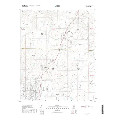
2018 Map of Russellville
USGS Topo · Published 2018About this map
Russellville serves as the primary hub of this northern Alabama landscape, situated just south of the Colbert County and Franklin County line. The map illustrates a transition from the structured residential blocks of Woodlawn Heights and Hester Heights to the more dispersed rural communities like Tharptown and Pleasant Ridge. Local geography is defined by a series of prominent elevations, including Underwood Mountain and Coburn Mountain, which look over a network of small water bodies and springs such as Hyde Lake, City Lake, and Chalybeate Spring. Genealogists will find a high density of burial sites across the quadrangle, ranging from large grounds like Franklin Memory Gardens to smaller family markers like Young Cemetery and Osborn Hill Cemetery. The mapping of small creeks, including Stinking Bear Creek and Hargett Branch, reveals the intricate drainage patterns that have shaped property lines and road placements throughout the region.
Find a feature on this map
161 named features on this map. Tap any name to fly to it.
Don’t see what you’re looking for? This feature index may not catch every label — zoom into the map to look around manually.
Map Details
Editions of this 2018 Russellville Map
This is the sole edition of this map. No revisions or reprints were ever made.
Other maps of this area

1924 · Tuscumbia
USGS Topo · 1:48,000

1925 · Barton
USGS Topo · 1:62,500

1926 · Tuscumbia
USGS Topo · 1:62,500

1926 · Barton
USGS Topo · 1:48,000

1929 · Barton
USGS Topo · 1:62,500

1936 · Russellville
USGS Topo · 1:24,000

1936 · Newburg
USGS Topo · 1:24,000

1936 · Frankfort
USGS Topo · 1:24,000

1936 · Isbell
USGS Topo · 1:24,000

1936 · Pride
USGS Topo · 1:24,000