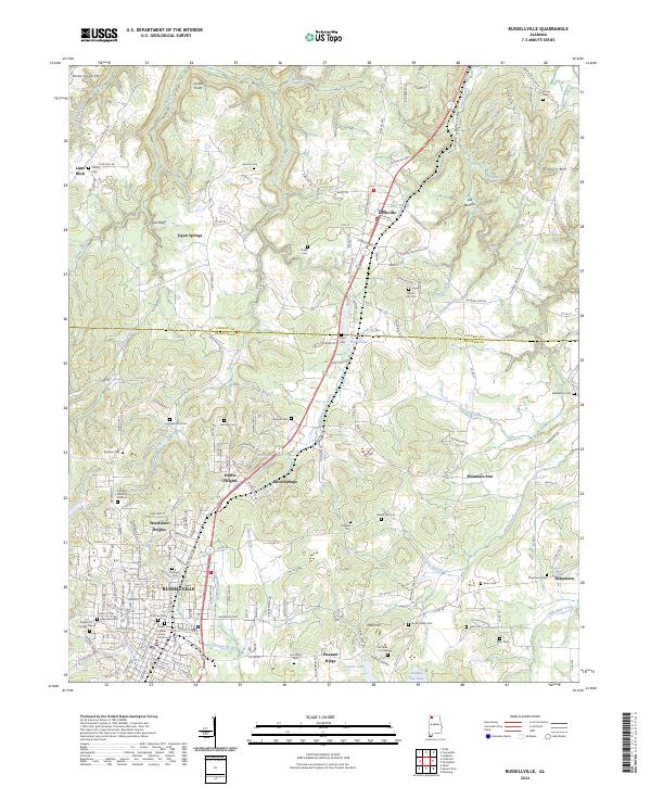
2024 Map of Russellville
USGS Topo · Published 2024About this map
The Franklin County Courthouse serves as the focal point for Russellville, situated at the southern end of a varied landscape where the northern Alabama foothills meet established valley settlements. The terrain is defined by prominent elevations such as Underwood Mtn and Coburn Mtn, which frame a complex network of waterways including Stinking Bear Creek and Spring Creek. Small communities and residential heights like Hester Heights, Woodlawn Heights, and Littleville are connected by a grid of county roads and the primary Jackson Hwy corridor.
Find a feature on this map
186 named features on this map. Tap any name to fly to it.
Don’t see what you’re looking for? This feature index may not catch every label — zoom into the map to look around manually.
Map Details
Editions of this 2024 Russellville Map
This is the sole edition of this map. No revisions or reprints were ever made.
Other maps of this area

1924 · Tuscumbia
USGS Topo · 1:48,000

1925 · Barton
USGS Topo · 1:62,500

1926 · Tuscumbia
USGS Topo · 1:62,500

1926 · Barton
USGS Topo · 1:48,000

1929 · Barton
USGS Topo · 1:62,500

1936 · Russellville
USGS Topo · 1:24,000

1936 · Newburg
USGS Topo · 1:24,000

1936 · Frankfort
USGS Topo · 1:24,000

1936 · Isbell
USGS Topo · 1:24,000

1936 · Pride
USGS Topo · 1:24,000