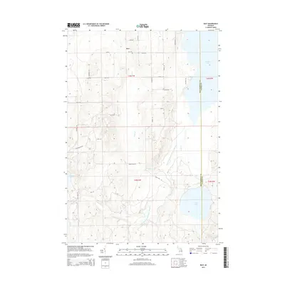
2014 Map of Rust
USGS Topo · Published 2014About this map
Rust and its surrounding township landscape are defined by an intricate network of waterways and glacial lakes in northeastern Michigan. The eastern boundary of Montmorency County and Alpena County divides a terrain shaped by the Upper South Branch Thunder Bay River, which feeds into the substantial waters of Fletcher Pond. For genealogists and local historians, the Rust Cem remains a central landmark near the intersection of Rust Rd and Cohoon Rd. The map illustrates a transitional environment where traditional land divisions, marked by numerous rural roads like Klein Rd and Farrier Rd, meet the natural drainage systems of Weber Cr, Turtle Cr, and Cole Cr. These features reflect a landscape that has long supported local timber and water-based economies.
Find a feature on this map
35 named features on this map. Tap any name to fly to it.
Don’t see what you’re looking for? This feature index may not catch every label — zoom into the map to look around manually.
Map Details
Editions of this 2014 Rust Map
This is the sole edition of this map. No revisions or reprints were ever made.
Other maps of this area

1954 · Traverse City
USGS Topo · 1:250,000

1954 · Tawas City
USGS Topo · 1:250,000

1954 · Alpena
USGS Topo · 1:250,000

1955 · Atlanta
USGS Topo · 1:62,500

1955 · Comins
USGS Topo · 1:62,500

1955 · Hillman
USGS Topo · 1:62,500

1955 · Cheboygan
USGS Topo · 1:250,000

1957 · Alpena
USGS Topo · 1:250,000

1958 · Cheboygan
USGS Topo · 1:250,000

1958 · Traverse City
USGS Topo · 1:250,000