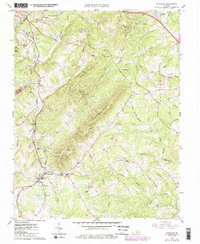
1963 Map of Rustburg
USGS Topo · Published 1986About this map
The community of Rustburg serves as a central point in this mid-1960s landscape, which features a mix of rural industry and institutional sites. The terrain is dominated by the long ridge of Long Mountain and the watercourse of the Falling River, with smaller settlements like Bocock and East Brook dotting the northern reaches. Transportation and commerce are anchored by the Norfolk and Western rail line, which winds past landmarks such as Lone Jack Station.
Find a feature on this map
58 named features on this map. Tap any name to fly to it.
Don’t see what you’re looking for? This feature index may not catch every label — zoom into the map to look around manually.
Map Details
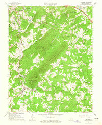
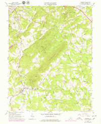
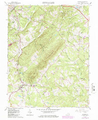
Editions of this 1963 Rustburg Map
4 editions found
Other maps of this area

1892 · Lynchburg
USGS Topo · 1:125,000

1892 · Appomattox
USGS Topo · 1:125,000

1944 · Lynchburg
USGS Topo · 1:62,500

1947 · Roanoke
USGS Topo · 1:250,000

1950 · Lynchburg
USGS Topo · 1:62,500

1956 · Brookneal
USGS Topo · 1:62,500

1956 · Gladys
USGS Topo · 1:62,500

1958 · Appomattox
USGS Topo · 1:62,500

1959 · Roanoke
USGS Topo · 1:250,000

1963 · Roanoke
USGS Topo · 1:250,000