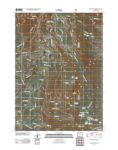
2011 Map of Rustler Peak
USGS Topo · Published 2011About this map
Rustler Peak serves as the high anchor for this montane landscape in the southern Oregon Cascades. The map details a complex network of forest access roads including Rustler Peak Rd and Parker Meadows Rd that weave through a topography defined by drainage basins and seasonal grazing areas. Notable sites like Parker Meadows and Stanley Meadows suggest a history of high-country land use, while Sheep Camp and Sheep Camp Glades point to the area’s legacy of livestock management.
Find a feature on this map
63 named features on this map. Tap any name to fly to it.
Don’t see what you’re looking for? This feature index may not catch every label — zoom into the map to look around manually.
Map Details
Editions of this 2011 Rustler Peak Map
This is the sole edition of this map. No revisions or reprints were ever made.
Other maps of this area

1891 · Ashland
USGS Topo · 1:250,000

1893 · Ashland
USGS Topo · 1:250,000

1897 · Ashland
USGS Topo · 1:250,000

1955 · Lake O' Woods
USGS Topo · 1:62,500

1955 · Rustler Peak
USGS Topo · 1:62,500

1955 · Mt. Mc Loughlin
USGS Topo · 1:62,500

1955 · Pelican Butte
USGS Topo · 1:62,500

1955 · Medford
USGS Topo · 1:250,000

1957 · Medford
USGS Topo · 1:250,000

1958 · Medford
USGS Topo · 1:250,000