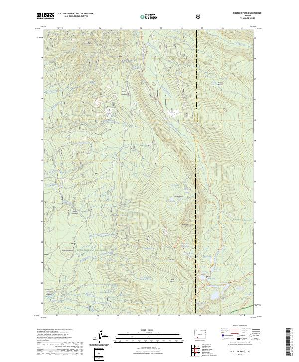
2023 Map of Rustler Peak
USGS Topo · Published 2023About this map
The South Fork Rogue River carves through the high country of the Rogue River National Forest, defining a landscape of alpine meadows and volcanic features. Near the center of the sheet, Rancheria marks a rare point of named settlement amidst the timber, situated west of the river and south of Rustler Peak. The map highlights a complex hydrography of high-altitude basins, including the McKee Basin and the North Blue Lake Group within the Sky Lakes Wilderness. Significant landmarks such as Smith Rock and Cat Hill dominate the eastern elevations, while the Pacific Crest National Scenic Trail traverses the southeastern corner. This recent survey also details various land management divisions, including specific Public Land Survey System parcels such as PB 47 and PB 45, which are essential for modern land-use research.
Find a feature on this map
71 named features on this map. Tap any name to fly to it.
Don’t see what you’re looking for? This feature index may not catch every label — zoom into the map to look around manually.
Map Details
Editions of this 2023 Rustler Peak Map
This is the sole edition of this map. No revisions or reprints were ever made.
Other maps of this area

1891 · Ashland
USGS Topo · 1:250,000

1893 · Ashland
USGS Topo · 1:250,000

1897 · Ashland
USGS Topo · 1:250,000

1955 · Lake O' Woods
USGS Topo · 1:62,500

1955 · Rustler Peak
USGS Topo · 1:62,500

1955 · Mt. Mc Loughlin
USGS Topo · 1:62,500

1955 · Pelican Butte
USGS Topo · 1:62,500

1955 · Medford
USGS Topo · 1:250,000

1957 · Medford
USGS Topo · 1:250,000

1958 · Medford
USGS Topo · 1:250,000