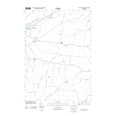
2013 Map of Rutland Center
USGS Topo · Published 2013About this map
The Black River flows along the northern edge of this Jefferson County landscape, dividing Huntington Island and Delano Island near the Watertown Water Works. Moving south from the river, the terrain transitions into the agricultural uplands of the Tug Hill region, defined by several small hamlets and the drainages of Staplin Cr and Sandy Cr. The settlement pattern centers on historic road junctions like Burrs Mills and Rutland Center, where local economies once thrived on water-powered milling and farming.
Find a feature on this map
77 named features on this map. Tap any name to fly to it.
Don’t see what you’re looking for? This feature index may not catch every label — zoom into the map to look around manually.
Map Details
Editions of this 2013 Rutland Center Map
This is the sole edition of this map. No revisions or reprints were ever made.
Other maps of this area

1895 · Watertown
USGS Topo · 1:62,500

1898 · Watertown
USGS Topo · 1:62,500

1902 · Carthage
USGS Topo · 1:62,500

1903 · Theresa
USGS Topo · 1:62,500

1904 · Carthage
USGS Topo · 1:62,500

1908 · Watertown
USGS Topo · 1:62,500

1909 · Watertown
USGS Topo · 1:62,500

1911 · Antwerp
USGS Topo · 1:62,500

1942 · Copenhagen
USGS Topo · 1:24,000
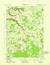
1943 · Barnes Corners
USGS Topo · 1:31,680