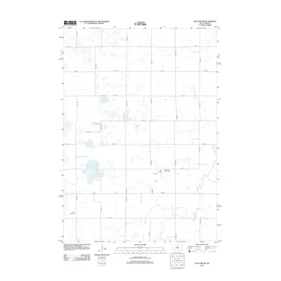
2012 Map of Rutland NW
USGS Topo · Published 2012About this map
Glacial depressions and watercourses define the landscape of Lake County in this modern survey. The area is characterized by significant wetland features including Pederson Slough, Molumby Slough, and the expansive Mud Lake, which anchor the drainage patterns alongside the winding Battle Cr. These water bodies are interspersed with a rigid grid of rural section roads, such as Co HWY-19 and 461st Ave, that delineate the agricultural parcels of the region.
Find a feature on this map
24 named features on this map. Tap any name to fly to it.
Don’t see what you’re looking for? This feature index may not catch every label — zoom into the map to look around manually.
Map Details
Editions of this 2012 Rutland NW Map
This is the sole edition of this map. No revisions or reprints were ever made.
Other maps of this area

1953 · Watertown
USGS Topo · 1:250,000

1958 · Watertown
USGS Topo · 1:250,000

1964 · Brookings
USGS Topo · 1:24,000

1964 · Medary
USGS Topo · 1:24,000

1964 · Rutland SE
USGS Topo · 1:24,000

1968 · Lake Sinai
USGS Topo · 1:24,000

1968 · Volga
USGS Topo · 1:24,000

1968 · Madison
USGS Topo · 1:24,000

1968 · Sinai
USGS Topo · 1:24,000
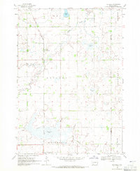
1968 · Rutland
USGS Topo · 1:24,000
Featured Places
- Camridge Hutterite Colony, SD
- Oslo Township, SD
- Medary Township, SD
- Summit Township, SD
- Fremont Township, SD