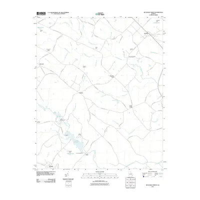
2011 Map of Rutledge North
USGS Topo · Published 2011About this map
The agrarian landscape of Morgan County is defined by a dense network of country roads and family-named landmarks. Small settlements such as Bostwick and Fairplay anchor the northern and central sections, while the southern edge touches Rutledge. This area is rich in sites for genealogical research, including the Mount Vernon Baptist Church Cemetery and the Thomas and Knight Cemetery.
Find a feature on this map
84 named features on this map. Tap any name to fly to it.
Don’t see what you’re looking for? This feature index may not catch every label — zoom into the map to look around manually.
Map Details
Editions of this 2011 Rutledge North Map
This is the sole edition of this map. No revisions or reprints were ever made.
Other maps of this area

1896 · Monroe
USGS Topo · 1:125,000

1953 · Athens
USGS Topo · 1:250,000

1958 · Athens
USGS Topo · 1:250,000

1959 · Athens
USGS Topo · 1:250,000

1963 · Athens
USGS Topo · 1:250,000

1964 · High Shoals
USGS Topo · 1:24,000

1964 · Watkinsville
USGS Topo · 1:24,000

1964 · Monroe
USGS Topo · 1:24,000

1971 · Rutledge North
USGS Topo · 1:24,000
1971 · Social Circle
USGS Topo · 1:24,000