Loading...
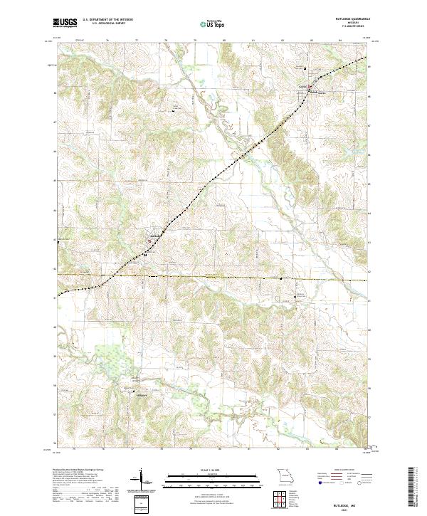
Loading map...2021 Map of Rutledge
USGS Topo · Published 2021About this map
Rutledge and Gorin serve as the primary hubs in this corner of Northeast Missouri, where the landscape is defined by the winding paths of the North Fabius River and Middle Fabius River. The transition between Scotland Co and Knox Co is marked by a series of small rural communities and the essential infrastructure that connects them, including the Millport Bridge near the settlement of Millport.
Find a feature on this map
70 named features on this map. Tap any name to fly to it.
Don’t see what you’re looking for? This feature index may not catch every label — zoom into the map to look around manually.
Map Details
Date Portrayed2021
Date Published2021
PublisherU.S. Geological Survey
Map TypeTopographic
Scale1:24000
Physical Dimensions24 x 29 inches
Editions of this 2021 Rutledge Map
This is the sole edition of this map. No revisions or reprints were ever made.
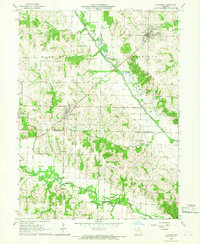
Historical Maps of Dancing Rabbit Ecovillage Through Time
Featured Locations
Source Details
SourceU.S. Geological Survey
CopyrightPublic Domain