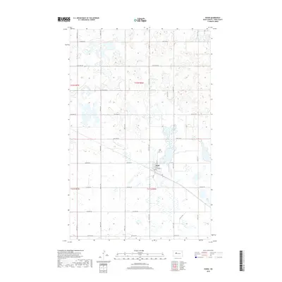
2018 Map of Ryder
USGS Topo · Published 2018About this map
Ryder serves as the primary hub of this Ward County landscape, centered around the intersection of Main St and 3rd Ave. The town is neatly organized by a grid that gives way to a sprawling network of numbered rural roads, such as 303rd Ave SW and 254th St SW, which define the agricultural sections of the surrounding prairie. A distinct cluster of wetlands and small water bodies punctuate the terrain, particularly north and east of the main settlement. Genealogy and local history researchers will find the Ryder Cem situated north of the town center, a notable landmark in this sparsely populated region. The map captures the area's transition from a concentrated townsite to the wide-reaching sectional lines that characterize North Dakota's farming country.
Find a feature on this map
26 named features on this map. Tap any name to fly to it.
Don’t see what you’re looking for? This feature index may not catch every label — zoom into the map to look around manually.
Map Details
Editions of this 2018 Ryder Map
This is the sole edition of this map. No revisions or reprints were ever made.
Other maps of this area

1954 · Minot
USGS Topo · 1:250,000

1954 · McClusky
USGS Topo · 1:250,000

1956 · Blue Hill
USGS Topo · 1:24,000

1956 · Douglas West
USGS Topo · 1:24,000

1956 · Roseglen
USGS Topo · 1:24,000

1958 · McClusky
USGS Topo · 1:250,000

1958 · Minot
USGS Topo · 1:250,000

1980 · Minot
USGS Topo · 1:100,000

1980 · Lake Vernon
USGS Topo · 1:24,000

1980 · Plaza SE
USGS Topo · 1:24,000