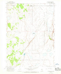
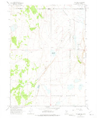
1966 Map of Rye Creek
USGS Topo · Published 1968About this map
The Sheldon National Antelope Refuge and the Charles Sheldon Antelope Range dominate this high-desert landscape during the mid-1960s, straddling the remote border between Nevada and Oregon. This area within Washoe County and Lake County is defined by its rugged basins and ranges, where water management is critical to the local environment and ranching economy. Significant water features include Rye Creek Reservoir, Roadtrack Reservoir, and the drainage of Rye Creek itself as it flows through the Antelope Range.
Find a feature on this map
13 named features on this map. Tap any name to fly to it.
Don’t see what you’re looking for? This feature index may not catch every label — zoom into the map to look around manually.
Map Details
Editions of this 1966 Rye Creek Map
2 editions found
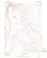
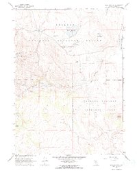
Other maps of this area

1889 · Long Valley
USGS Topo · 1:250,000

1954 · Vya
USGS Topo · 1:250,000

1955 · Adel
USGS Topo · 1:250,000

1957 · Adel
USGS Topo · 1:250,000

1958 · Vya
USGS Topo · 1:250,000

1958 · Adel
USGS Topo · 1:250,000

1962 · Vya
USGS Topo · 1:250,000

1962 · Adel
USGS Topo · 1:250,000
1966 · Catnip Canyon
USGS Topo · 1:24,000
1966 · Bald Mountain
USGS Topo · 1:24,000