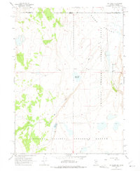
1966 Map of Rye Creek
USGS Topo · Published 1975About this map
The Charles Sheldon Antelope Range dominates this mid-1960s survey of the high desert borderlands between Nevada and Oregon. The landscape is defined by vast drainage basins and seasonal water management, featuring the Rye Creek Reservoir and the Racetrack Reservoir along the winding course of Rye Creek. Human activity is sparse and concentrated at the IXL Ranch near the eastern edge of the Guano Valley.
Find a feature on this map
13 named features on this map. Tap any name to fly to it.
Don’t see what you’re looking for? This feature index may not catch every label — zoom into the map to look around manually.
Map Details
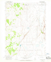
Editions of this 1966 Rye Creek Map
2 editions found
Other maps of this area

1889 · Long Valley
USGS Topo · 1:250,000

1954 · Vya
USGS Topo · 1:250,000

1955 · Adel
USGS Topo · 1:250,000

1957 · Adel
USGS Topo · 1:250,000

1958 · Vya
USGS Topo · 1:250,000

1958 · Adel
USGS Topo · 1:250,000

1962 · Vya
USGS Topo · 1:250,000

1962 · Adel
USGS Topo · 1:250,000

1966 · Catnip Canyon
USGS Topo · 1:24,000

1966 · Bald Mountain
USGS Topo · 1:24,000