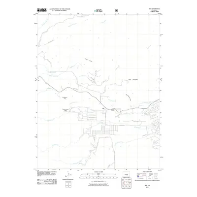
2011 Map of Rye
USGS Topo · Published 2011About this map
Rye serves as the focal point of this 2011 survey, situated where the high plains meet the eastern foothills. The settlement pattern here is defined by a grid of streets such as Boulder Ave and Baxter Rd, transitioning into winding routes like Cuerna Verde Rd and Diefenderfer Rd that navigate the local topography. This area is characterized by an intricate network of drainages, including Greenhorn Creek, Graneros Creek, and the various branches of Muddy Creek, which carve through the landscape.
Find a feature on this map
46 named features on this map. Tap any name to fly to it.
Don’t see what you’re looking for? This feature index may not catch every label — zoom into the map to look around manually.
Map Details
Editions of this 2011 Rye Map
This is the sole edition of this map. No revisions or reprints were ever made.
Other maps of this area
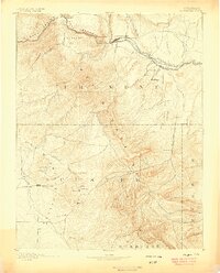
1889 · Canon City
USGS Topo · 1:125,000
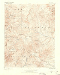
1889 · Huerfano Park
USGS Topo · 1:125,000
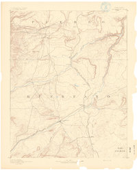
1891 · Walsenburg
USGS Topo · 1:125,000
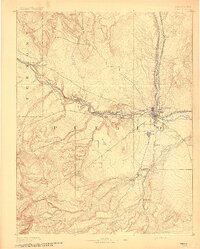
1891 · Pueblo
USGS Topo · 1:125,000
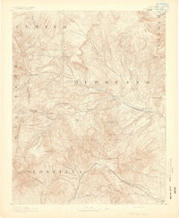
1892 · Huerfano Park
USGS Topo · 1:125,000
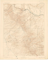
1892 · Canon City
USGS Topo · 1:125,000
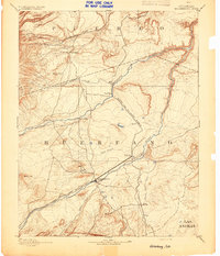
1894 · Walsenburg
USGS Topo · 1:125,000
1894 · Pueblo
USGS Topo · 1:125,000
1896 · Pueblo
USGS Topo · 1:125,000
1897 · Pueblo
USGS Topo · 1:125,000