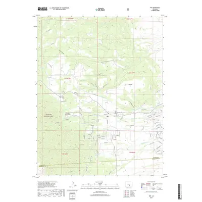
2019 Map of Rye
USGS Topo · Published 2019About this map
Rye serves as the primary settlement on this Colorado landscape, situated where the foothills meet the plains. The town is anchored by Main St and the local Po, with the community's history documented at Mount Olivet Cem and Brookside Cem. To the west, the terrain rises sharply into the San Isabel National Forest and the Huckleberry Hills, while Cuerna Verde Park provides a transition between the developed townsite and the surrounding wilderness.
Find a feature on this map
113 named features on this map. Tap any name to fly to it.
Don’t see what you’re looking for? This feature index may not catch every label — zoom into the map to look around manually.
Map Details
Editions of this 2019 Rye Map
This is the sole edition of this map. No revisions or reprints were ever made.
Other maps of this area

1889 · Canon City
USGS Topo · 1:125,000

1889 · Huerfano Park
USGS Topo · 1:125,000

1891 · Walsenburg
USGS Topo · 1:125,000

1891 · Pueblo
USGS Topo · 1:125,000

1892 · Huerfano Park
USGS Topo · 1:125,000

1892 · Canon City
USGS Topo · 1:125,000

1894 · Walsenburg
USGS Topo · 1:125,000

1894 · Pueblo
USGS Topo · 1:125,000

1896 · Pueblo
USGS Topo · 1:125,000

1897 · Pueblo
USGS Topo · 1:125,000