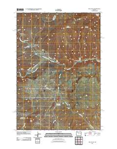
2011 Map of Rye Valley
USGS Topo · Published 2011About this map
Rye Valley serves as the focal point for this rugged interior landscape in Baker County, where the topography is defined by high peaks and deeply cut drainages. The Rye Valley Cemetery and nearby Hoffman Ranch provide evidence of long-standing ranching and settlement patterns along the North Fork Dixie Creek. The nomenclature of the landscape reflects a history of small-scale extraction and early transit, visible in names like Opal Mine Draw and the Shoestring Grade.
Find a feature on this map
42 named features on this map. Tap any name to fly to it.
Don’t see what you’re looking for? This feature index may not catch every label — zoom into the map to look around manually.
Map Details
Editions of this 2011 Rye Valley Map
This is the sole edition of this map. No revisions or reprints were ever made.
Other maps of this area

1901 · Baker City
USGS Topo · 1:125,000

1915 · Pine
USGS Topo · 1:125,000

1951 · Huntington
USGS Topo · 1:62,500

1955 · Baker
USGS Topo · 1:250,000

1957 · Durkee
USGS Topo · 1:62,500

1959 · Baker
USGS Topo · 1:250,000

1964 · Bridgeport
USGS Topo · 1:62,500

1967 · Lost Basin
USGS Topo · 1:24,000

1980 · Brogan
USGS Topo · 1:100,000

1981 · Baker
USGS Topo · 1:100,000