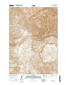
2017 Map of Rye Valley
USGS Topo · Published 2017About this map
Rye Valley defines this section of Baker County, where the landscape is etched by a complex network of water management and mining history. The settlement sits near the Rye Valley Cem, surrounded by numerous springs like Quaker Spring and Summit Spring that feed into Shirttail Cr. A legacy of hydraulic engineering and resource extraction is evident in features such as the Mormon Basin Ditch, N Dixie Ditch, and the specifically named Opal Mine Draw.
Find a feature on this map
74 named features on this map. Tap any name to fly to it.
Don’t see what you’re looking for? This feature index may not catch every label — zoom into the map to look around manually.
Map Details
Editions of this 2017 Rye Valley Map
This is the sole edition of this map. No revisions or reprints were ever made.
Other maps of this area

1901 · Baker City
USGS Topo · 1:125,000

1915 · Pine
USGS Topo · 1:125,000

1951 · Huntington
USGS Topo · 1:62,500

1955 · Baker
USGS Topo · 1:250,000

1957 · Durkee
USGS Topo · 1:62,500

1959 · Baker
USGS Topo · 1:250,000

1964 · Bridgeport
USGS Topo · 1:62,500

1967 · Lost Basin
USGS Topo · 1:24,000

1980 · Brogan
USGS Topo · 1:100,000

1981 · Baker
USGS Topo · 1:100,000