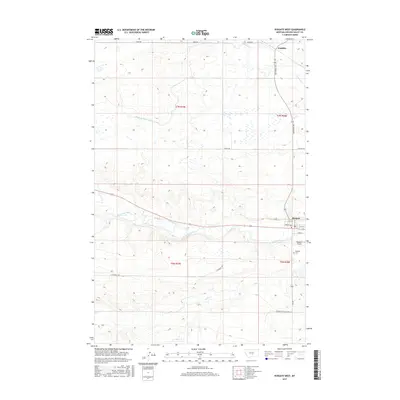
2017 Map of Ryegate West
USGS Topo · Published 2017About this map
The Musselshell River carves a winding path through this portion of Golden Valley County, serving as the primary geographic anchor for the town of Ryegate. The settlement is organized along a grid of streets including 1st Ave E and 5th St, situated just north of the river's bend. Further north, the smaller community of Franklin sits along Rothemay Rd, illustrating the dispersed settlement pattern typical of Montana's plains.
Find a feature on this map
25 named features on this map. Tap any name to fly to it.
Don’t see what you’re looking for? This feature index may not catch every label — zoom into the map to look around manually.
Map Details
Editions of this 2017 Ryegate West Map
This is the sole edition of this map. No revisions or reprints were ever made.
Other maps of this area
1889 · Big Snowy Mountain
USGS Topo · 1:250,000
1893 · Big Snowy Mountain
USGS Topo · 1:250,000
1954 · Roundup
USGS Topo · 1:250,000
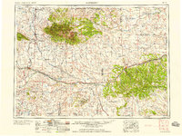
1958 · Roundup
USGS Topo · 1:250,000
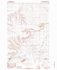
1985 · Locomotive Butte
USGS Topo · 1:24,000
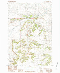
1985 · Mount Sinai
USGS Topo · 1:24,000
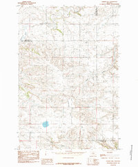
1985 · O'Brien Hill
USGS Topo · 1:24,000
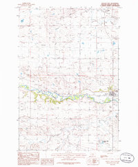
1986 · Ryegate West
USGS Topo · 1:24,000
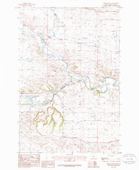
1986 · Ryegate East
USGS Topo · 1:24,000
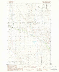
1986 · Halbert Creek South
USGS Topo · 1:24,000
Featured Places
- Ryegate, MT
- Franklin, MT
- Golden Valley Colony, MT
- Golden Valley Hutterite Colony, MT
- Golden Valley County, MT