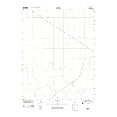
2010 Map of Ryus
USGS Topo · Published 2010About this map
Ryus stands at a high-desert crossroads in southwestern Kansas, where a precise grid of sectional roads meets the diagonal passage of State Hwy 190. The landscape is defined by the sweeping arc of the Cimarron River, which cuts through the southern portion of the quadrangle. This 2010 survey illustrates the deep-rooted agricultural and industrial geometry of Grant County, where long-distance routes like Us Hwy 56 intersect with local access roads such as 24 Mile Rd and Co Rd BB. The map reveals a sparsely populated terrain where the built environment is largely dictated by large-scale land management and transportation, including the distinct path of Rd 15 E and S Rd W.
Find a feature on this map
20 named features on this map. Tap any name to fly to it.
Don’t see what you’re looking for? This feature index may not catch every label — zoom into the map to look around manually.
Map Details
Editions of this 2010 Ryus Map
This is the sole edition of this map. No revisions or reprints were ever made.
Other maps of this area

1891 · Larned
USGS Topo · 1:125,000

1896 · Garden
USGS Topo · 1:125,000

1900 · Lakin
USGS Topo · 1:125,000

1944 · Moscow
USGS Topo · 1:62,500

1945 · Moscow
USGS Topo · 1:62,500

1955 · Dodge City
USGS Topo · 1:250,000

1958 · Dodge City
USGS Topo · 1:250,000

1959 · Dodge City
USGS Topo · 1:250,000

1959 · Hickok
USGS Topo · 1:24,000

1960 · Hickok SE
USGS Topo · 1:24,000