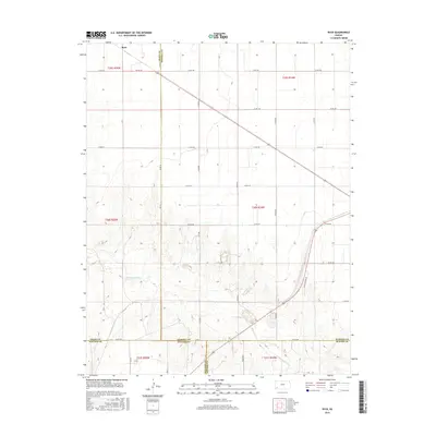
2016 Map of Ryus
USGS Topo · Published 2016About this map
Ryus anchors the northern reaches of this High Plains landscape, situated at the junction of Co RD 18 and Co Rd 190. The map reveals a strictly organized section-line grid that defines the agricultural and transport patterns of the region. This geometric order is interrupted only by the winding course of the Cimarron River as it cuts through the southern portion of the territory. The convergence of multiple county lines in this corner of Kansas—including Grant, Haskell, Seward, and Stevens—makes the map a significant reference for jurisdictional and property history. Aside from the small settlement at Ryus, the terrain is characterized by large-scale land divisions and a network of arterial routes like Golf Course Rd and Co RD 250.
Find a feature on this map
25 named features on this map. Tap any name to fly to it.
Don’t see what you’re looking for? This feature index may not catch every label — zoom into the map to look around manually.
Map Details
Editions of this 2016 Ryus Map
This is the sole edition of this map. No revisions or reprints were ever made.
Other maps of this area

1891 · Larned
USGS Topo · 1:125,000

1896 · Garden
USGS Topo · 1:125,000

1900 · Lakin
USGS Topo · 1:125,000

1944 · Moscow
USGS Topo · 1:62,500

1945 · Moscow
USGS Topo · 1:62,500

1955 · Dodge City
USGS Topo · 1:250,000

1958 · Dodge City
USGS Topo · 1:250,000

1959 · Dodge City
USGS Topo · 1:250,000

1959 · Hickok
USGS Topo · 1:24,000

1960 · Hickok SE
USGS Topo · 1:24,000