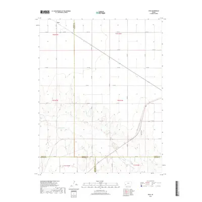
2018 Map of Ryus
USGS Topo · Published 2018About this map
Ryus stands at a transition point in Grant County where the geometric precision of High Plains agriculture meets the winding topography of the Cimarron River valley. This 2018 survey documents a landscape defined by an extensive grid of section roads, including Co Rd 180 and Co Rd 200, which provide access to the vast center-pivot irrigation circles dominating the northern townships. To the south, the terrain breaks into the drainage basin of the river, where the rigid road network yields to more adaptive routes like Golf Course Rd and the localized path of Marteney. This intersection of human engineering and natural riverine geography is a primary feature of the region, illustrating how modern land use continues to operate across the historic boundaries of the Haskell, Stevens, and Seward county lines.
Find a feature on this map
27 named features on this map. Tap any name to fly to it.
Don’t see what you’re looking for? This feature index may not catch every label — zoom into the map to look around manually.
Map Details
Editions of this 2018 Ryus Map
This is the sole edition of this map. No revisions or reprints were ever made.
Other maps of this area

1891 · Larned
USGS Topo · 1:125,000

1896 · Garden
USGS Topo · 1:125,000

1900 · Lakin
USGS Topo · 1:125,000

1944 · Moscow
USGS Topo · 1:62,500

1945 · Moscow
USGS Topo · 1:62,500

1955 · Dodge City
USGS Topo · 1:250,000

1958 · Dodge City
USGS Topo · 1:250,000

1959 · Dodge City
USGS Topo · 1:250,000

1959 · Hickok
USGS Topo · 1:24,000

1960 · Hickok SE
USGS Topo · 1:24,000