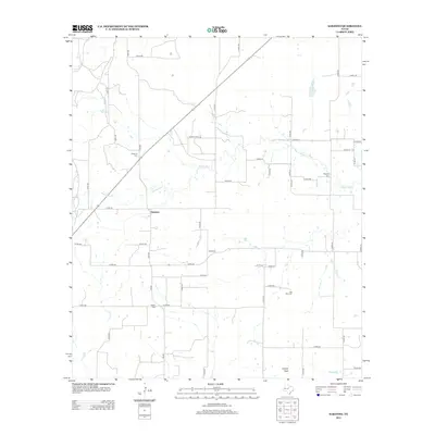
2012 Map of Sabanno
USGS Topo · Published 2012About this map
Sabanno serves as the central hub of this Eastland County landscape, where the rural road network converges near the banks of the Sabana River. The geography is defined by a series of watercourses including Paint Cr and Yellow Br, which carve through the terrain toward the prominence of Coyote Peak. This 2012 survey provides significant detail for genealogists, as it documents several distinct burial sites across the countryside, such as Sabanno Cem, Wayside Cem, and Salt Tank Cem. The intersection of Hwy-569 and Fm-569 near Liberty Cem illustrates the modern transportation corridors that follow the historic settlement patterns of the region. The map captures a transition of land use where large open tracts are segmented by a grid of county roads, reflecting the enduring ranching and agricultural character of the Texas interior.
Find a feature on this map
48 named features on this map. Tap any name to fly to it.
Don’t see what you’re looking for? This feature index may not catch every label — zoom into the map to look around manually.
Map Details
Editions of this 2012 Sabanno Map
This is the sole edition of this map. No revisions or reprints were ever made.
Other maps of this area

1894 · Eastland
USGS Topo · 1:125,000

1931 · Baird
USGS Topo · 1:125,000

1932 · Baird
USGS Topo · 1:125,000

1954 · Abilene
USGS Topo · 1:250,000

1958 · Abilene
USGS Topo · 1:250,000
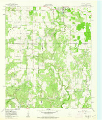
1960 · Cross Cut
USGS Topo · 1:24,000
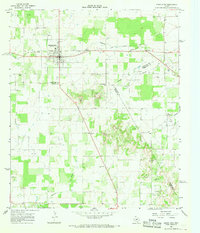
1966 · Rising Star
USGS Topo · 1:24,000

1966 · Scranton
USGS Topo · 1:24,000

1966 · Putnam South
USGS Topo · 1:24,000

1966 · Cisco South
USGS Topo · 1:24,000