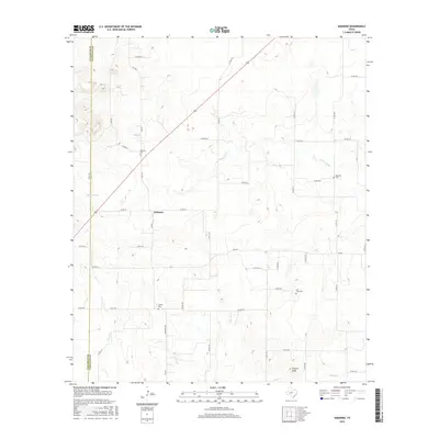
2016 Map of Sabanno
USGS Topo · Published 2016About this map
Sabanno and Liberty anchor this central Texas landscape along the Sabana River, where the high plains of Eastland County transition into rolling creek valleys. The local geography is defined by a network of drainage systems, including Paint Cr and Yellow Br, which carve through the terrain near notable high points like Coyote Peak. For genealogists and local historians, the area is meticulously documented through its burial grounds, with the Sabanno Cem and Liberty Cem located near their respective namesake settlements, while the more remote Wayside Cem and Salt Tank Cem sit further east. The map reflects a predominantly rural road structure, dominated by farm-to-market routes like FM 569 and FM 2731 that connect these small ranching and farming communities across the county line from Callahan County.
Find a feature on this map
49 named features on this map. Tap any name to fly to it.
Don’t see what you’re looking for? This feature index may not catch every label — zoom into the map to look around manually.
Map Details
Editions of this 2016 Sabanno Map
This is the sole edition of this map. No revisions or reprints were ever made.
Other maps of this area

1894 · Eastland
USGS Topo · 1:125,000

1931 · Baird
USGS Topo · 1:125,000

1932 · Baird
USGS Topo · 1:125,000

1954 · Abilene
USGS Topo · 1:250,000

1958 · Abilene
USGS Topo · 1:250,000
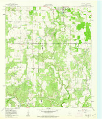
1960 · Cross Cut
USGS Topo · 1:24,000
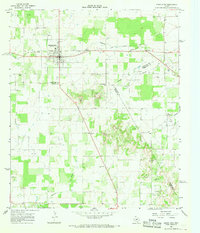
1966 · Rising Star
USGS Topo · 1:24,000

1966 · Scranton
USGS Topo · 1:24,000

1966 · Putnam South
USGS Topo · 1:24,000

1966 · Cisco South
USGS Topo · 1:24,000