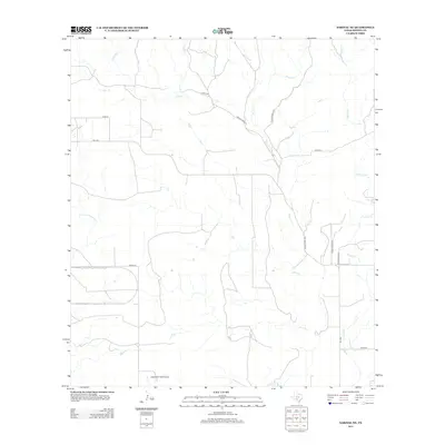
2013 Map of Sabinal NE
USGS Topo · Published 2013About this map
Seco Cr and Parkers Cr dominate this rural landscape in Medina County, tracing winding paths through a region defined by ranching and light aviation. The presence of Glasscock Field Airport in the south provides a localized center for air travel amidst an extensive network of county and private roads. These routes, including Fm-1796 and Ranch Road 1796, facilitate movement through the open terrain between watercourses like Rocky Cr and Cedar Cr. The drainage patterns, featuring smaller tributaries such as Little Comanche Cr, indicate a landscape shaped by seasonal water flow, while the sparse development of Private Road 321 and various cattle-related infrastructure reflects the enduring agricultural character of the Texas Hill Country outskirts.
Find a feature on this map
17 named features on this map. Tap any name to fly to it.
Don’t see what you’re looking for? This feature index may not catch every label — zoom into the map to look around manually.
Map Details
Editions of this 2013 Sabinal NE Map
This is the sole edition of this map. No revisions or reprints were ever made.
Other maps of this area

1954 · San Antonio
USGS Topo · 1:250,000

1956 · Sabinal
USGS Topo · 1:62,500

1956 · New Fountain
USGS Topo · 1:62,500

1956 · Tarpley
USGS Topo · 1:62,500

1956 · Bandera
USGS Topo · 1:62,500

1957 · San Antonio
USGS Topo · 1:250,000
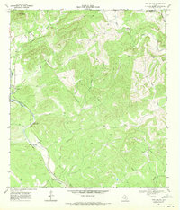
1969 · Twin Hollow
USGS Topo · 1:24,000
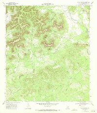
1969 · Texas Mountain
USGS Topo · 1:24,000

1969 · Sabinal NE
USGS Topo · 1:24,000

1969 · Comanche Waterhole
USGS Topo · 1:24,000