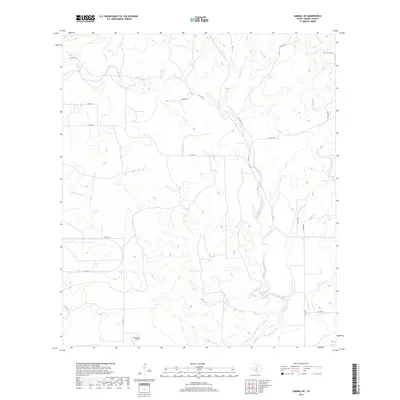
2019 Map of Sabinal NE
USGS Topo · Published 2019About this map
Seco Cr and its various tributaries, including Cedar Cr and Parkers Cr, carve a complex drainage pattern through this portion of Medina County. The landscape is defined by the rural transport network of the late 2010s, where primary routes like Fm 1796 intersect with established local ways such as Co RD 311 and Co RD 312. This survey reflects the agricultural and ranching character of the region, featuring Ranch Rd and several private access ways that serve the sprawling land tracts common to this part of Texas.
Find a feature on this map
20 named features on this map. Tap any name to fly to it.
Don’t see what you’re looking for? This feature index may not catch every label — zoom into the map to look around manually.
Map Details
Editions of this 2019 Sabinal NE Map
This is the sole edition of this map. No revisions or reprints were ever made.
Other maps of this area

1954 · San Antonio
USGS Topo · 1:250,000

1956 · Sabinal
USGS Topo · 1:62,500

1956 · New Fountain
USGS Topo · 1:62,500

1956 · Tarpley
USGS Topo · 1:62,500

1956 · Bandera
USGS Topo · 1:62,500

1957 · San Antonio
USGS Topo · 1:250,000
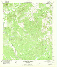
1969 · Twin Hollow
USGS Topo · 1:24,000
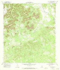
1969 · Texas Mountain
USGS Topo · 1:24,000

1969 · Sabinal NE
USGS Topo · 1:24,000

1969 · Comanche Waterhole
USGS Topo · 1:24,000