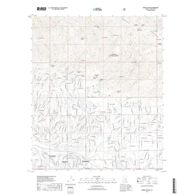
2018 Map of Sabino Canyon
USGS Topo · Published 2018About this map
The sprawling suburbs of Tucson meet the foothills of the Santa Catalina Mountains in this 2018 survey, illustrating the juxtaposition of mid-century residential expansion and preserved wilderness. Established communities like Tucson Country Club Estates and Indian Ridge Estates dominate the lower elevations near the Tanque Verde Wash, while the Coronado National Forest protects the northern terrain. The map captures a complex drainage system where the Ventana Canyon Wash and Sabino Creek descend from the high peaks toward the urban valley. This transition from developed street grids, such as those along E River Rd, to the footpath of the Arizona National Scenic Trail highlights the recreational value of landmarks like Sabino Canyon and Bear Canyon. From the resting place at East Lawn Palms Cem to the heights of Thimble Peak, the sheet documents a landscape defined by its desert riparian corridors and the hard edge of urban growth.
Find a feature on this map
91 named features on this map. Tap any name to fly to it.
Don’t see what you’re looking for? This feature index may not catch every label — zoom into the map to look around manually.
Map Details
Editions of this 2018 Sabino Canyon Map
This is the sole edition of this map. No revisions or reprints were ever made.
Other maps of this area

1904 · Tucson
USGS Topo · 1:125,000

1905 · Tucson
USGS Topo · 1:125,000

1948 · Tucson
USGS Topo · 1:62,500

1956 · Tucson
USGS Topo · 1:250,000

1957 · Tucson East
USGS Topo · 1:24,000

1957 · Bellota Ranch
USGS Topo · 1:62,500

1957 · Tucson
USGS Topo · 1:24,000

1957 · Tucson
USGS Topo · 1:62,500

1957 · Rincon Valley
USGS Topo · 1:62,500

1957 · Sabino Canyon
USGS Topo · 1:24,000