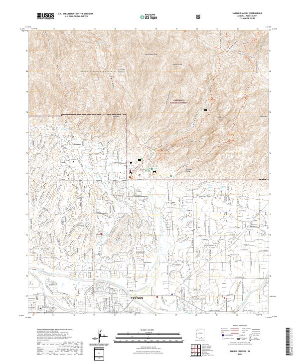
2021 Map of Sabino Canyon
USGS Topo · Published 2021About this map
The Santa Catalina Mountains dominate the northern half of this landscape, rising above the expanding residential grids of Tucson. Within the Coronado National Forest, a complex network of drainage basins including Sabino Canyon, Bear Canyon, and Ventana Canyon Wash carves through the high desert terrain. Notable landmarks like Thimble Peak and Mt Miguel overlook high-altitude sites such as Geronimo Meadow and Mormon Spring.
Find a feature on this map
59 named features on this map. Tap any name to fly to it.
Don’t see what you’re looking for? This feature index may not catch every label — zoom into the map to look around manually.
Map Details
Editions of this 2021 Sabino Canyon Map
This is the sole edition of this map. No revisions or reprints were ever made.
Other maps of this area

1904 · Tucson
USGS Topo · 1:125,000

1905 · Tucson
USGS Topo · 1:125,000

1948 · Tucson
USGS Topo · 1:62,500

1956 · Tucson
USGS Topo · 1:250,000

1957 · Tucson East
USGS Topo · 1:24,000

1957 · Bellota Ranch
USGS Topo · 1:62,500

1957 · Tucson
USGS Topo · 1:24,000

1957 · Tucson
USGS Topo · 1:62,500

1957 · Rincon Valley
USGS Topo · 1:62,500

1957 · Sabino Canyon
USGS Topo · 1:24,000