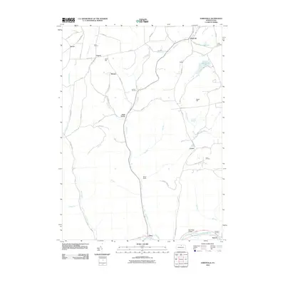
2010 Map of Sabinsville
USGS Topo · Published 2010About this map
Sabinsville serves as a central point in this Tioga County landscape, where rural life is defined by the winding paths of Mill Creek and Long Run. The terrain transitions from the elevations of Scott Hill and Beech Hill down into the narrow corridors of Bend Gully and Big Bridge Hollow. Local history is anchored by numerous family and community burial grounds, including the Lovel Cemetery near Clymer and the Larrison Cemetery situated along the central ridge. This 2010 survey highlights the persistent rural character of settlements like Mixtown and Gurnee, connected by a network of secondary roads such as Potterbrook Rd and Mixtown Rd. To the south, the village of Gaines sits near the banks of Pine Creek, while Eldridge Lake and Beechwood Lake provide distinctive water features in the northern highlands.
Find a feature on this map
64 named features on this map. Tap any name to fly to it.
Don’t see what you’re looking for? This feature index may not catch every label — zoom into the map to look around manually.
Map Details
Editions of this 2010 Sabinsville Map
This is the sole edition of this map. No revisions or reprints were ever made.
Other maps of this area

1899 · Gaines
USGS Topo · 1:62,500

1900 · Gaines
USGS Topo · 1:62,500

1900 · Elkland
USGS Topo · 1:62,500

1946 · Tiadaghton
USGS Topo · 1:24,000

1946 · Antrim
USGS Topo · 1:62,500

1947 · Galeton
USGS Topo · 1:62,500

1947 · Galeton
USGS Topo · 1:24,000

1947 · Marshlands
USGS Topo · 1:24,000
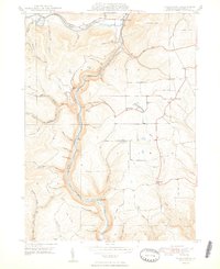
1948 · Tiadaghton
USGS Topo · 1:24,000
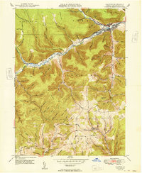
1949 · Galeton
USGS Topo · 1:24,000
Featured Places
- Clymer Township, PA
- Gaines Township, PA
- Hector Township, PA
- Davis Station, Clymer Township
- Gurnee, Gaines Township