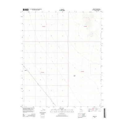
2015 Map of Sablon
USGS Topo · Published 2015About this map
Sablon sits in a remote expanse of the Mojave Desert within San Bernardino County, appearing here as it was surveyed in the early 21st century. The landscape is defined by the stark isolation of the desert floor, where the primary human footprint is found along Cadiz Rd, which cuts diagonally across the western section of the map. This topographic study emphasizes the vast, undeveloped stretches of the Public Land Survey System, including portions of t1n r19e, t1n r20e, t2n r19e, and t2n r20e. The sparse distribution of named features highlights the region's character as a desert transition zone where transportation routes like Cadiz Rd serve as the vital links through an otherwise unpopulated terrain.
Find a feature on this map
7 named features on this map. Tap any name to fly to it.
Don’t see what you’re looking for? This feature index may not catch every label — zoom into the map to look around manually.
Map Details
Editions of this 2015 Sablon Map
This is the sole edition of this map. No revisions or reprints were ever made.
Other maps of this area

1942 · Amboy
USGS Topo · 1:250,000

1943 · Amboy
USGS Topo · 1:250,000

1943 · Turtle Mts.
USGS Topo · 1:62,500

1943 · Iron Mountains
USGS Topo · 1:62,500

1954 · Needles
USGS Topo · 1:250,000

1954 · Turtle Mountains
USGS Topo · 1:62,500

1954 · Rice
USGS Topo · 1:62,500

1956 · Needles
USGS Topo · 1:250,000

1956 · Milligan
USGS Topo · 1:62,500

1956 · Iron Mountains
USGS Topo · 1:62,500