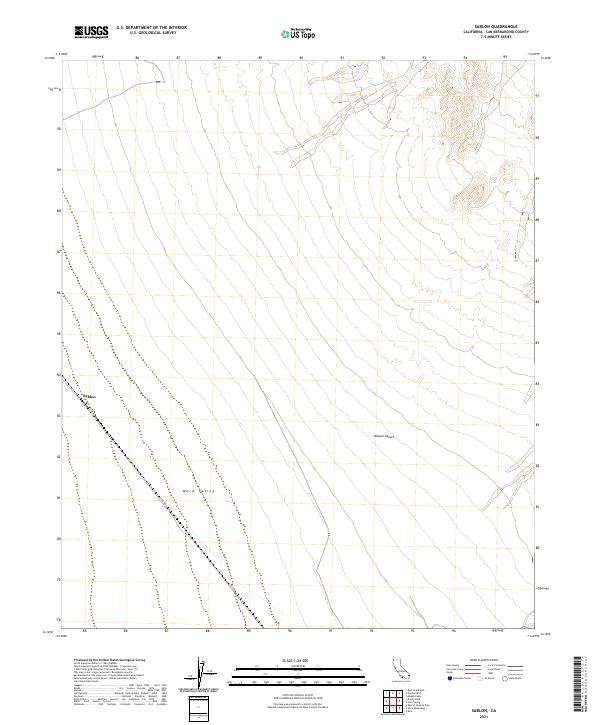
2021 Map of Sablon
USGS Topo · Published 2021About this map
Ward Valley stretches across this portion of the Mojave Desert, characterized by its broad alluvial plains and the long, diagonal transit route of Cadiz Rd. The sparse landscape is centered around the settlement of Sablon, a location defined by its isolation within the expansive desert terrain of San Bernardino County. This 2021 update from the U.S. Department of the Interior and the U.S. Geological Survey provides a precise record of the desert's topography, highlighting the subtle changes in elevation across the valley floor. The map captures the intersection of public land survey boundaries, including t1n r19e and t2n r19e, which organize this arid geography for modern administrative use.
Find a feature on this map
8 named features on this map. Tap any name to fly to it.
Don’t see what you’re looking for? This feature index may not catch every label — zoom into the map to look around manually.
Map Details
Editions of this 2021 Sablon Map
This is the sole edition of this map. No revisions or reprints were ever made.
Other maps of this area

1942 · Amboy
USGS Topo · 1:250,000

1943 · Amboy
USGS Topo · 1:250,000

1943 · Turtle Mts.
USGS Topo · 1:62,500

1943 · Iron Mountains
USGS Topo · 1:62,500

1954 · Needles
USGS Topo · 1:250,000

1954 · Turtle Mountains
USGS Topo · 1:62,500

1954 · Rice
USGS Topo · 1:62,500

1956 · Needles
USGS Topo · 1:250,000

1956 · Milligan
USGS Topo · 1:62,500

1956 · Iron Mountains
USGS Topo · 1:62,500