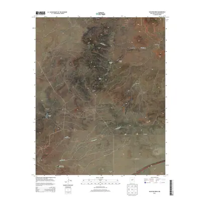
2013 Map of Sacaton Draw
USGS Topo · Published 2013About this map
Los Tanos Cem sits in the southern reach of this Guadalupe County landscape, documenting the presence of early settlers near the winding course of Los Tanos Cr. The map reveals a ranching-dependent economy where water management is central to survival, evidenced by numerous named catchment features like Salitre Tank, Canyon Tank, and Upper Tank. The topography is dominated by the broad drainage of Sacaton Draw and the more defined Gonzales Cr to the north.
Find a feature on this map
21 named features on this map. Tap any name to fly to it.
Don’t see what you’re looking for? This feature index may not catch every label — zoom into the map to look around manually.
Map Details
Editions of this 2013 Sacaton Draw Map
This is the sole edition of this map. No revisions or reprints were ever made.
Other maps of this area

1892 · Corazon
USGS Topo · 1:125,000

1894 · Corazon
USGS Topo · 1:125,000

1954 · Santa Fe
USGS Topo · 1:250,000

1954 · Fort Sumner
USGS Topo · 1:250,000

1958 · Fort Sumner
USGS Topo · 1:250,000

1958 · Santa Fe
USGS Topo · 1:250,000

1963 · Santa Rosa
USGS Topo · 1:24,000

1963 · Sunshine Mesa
USGS Topo · 1:24,000

1963 · Mesa Cherisco
USGS Topo · 1:24,000

1963 · Sacaton Draw
USGS Topo · 1:24,000