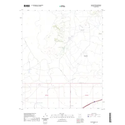
2023 Map of Sacaton Draw
USGS Topo · Published 2023About this map
Los Tanos Creek and its seasonal tributaries define the arid landscape of this Guadalupe County region, where water management is central to the local economy and survival. The land is marked by a series of catchment features, including Salitre Tank, Upper Tank, and North Los Tanos Tank, which suggest a long-standing reliance on ranching and livestock. This 2023 survey identifies the quiet settlement of Double Mills and the isolated Los Tanos Cem near the southern boundary, providing essential markers for genealogists and local historians. To the northeast, the terrain rises toward Boot Hill, while Sacaton Draw carves a path through the northern sections of the map. The network of rural routes like Los Tanos Rd and Simpson Rd connect these remote points of interest within the vast New Mexico landscape.
Find a feature on this map
18 named features on this map. Tap any name to fly to it.
Don’t see what you’re looking for? This feature index may not catch every label — zoom into the map to look around manually.
Map Details
Editions of this 2023 Sacaton Draw Map
This is the sole edition of this map. No revisions or reprints were ever made.
Other maps of this area

1892 · Corazon
USGS Topo · 1:125,000

1894 · Corazon
USGS Topo · 1:125,000

1954 · Santa Fe
USGS Topo · 1:250,000

1954 · Fort Sumner
USGS Topo · 1:250,000

1958 · Fort Sumner
USGS Topo · 1:250,000

1958 · Santa Fe
USGS Topo · 1:250,000

1963 · Santa Rosa
USGS Topo · 1:24,000

1963 · Sunshine Mesa
USGS Topo · 1:24,000

1963 · Mesa Cherisco
USGS Topo · 1:24,000

1963 · Sacaton Draw
USGS Topo · 1:24,000