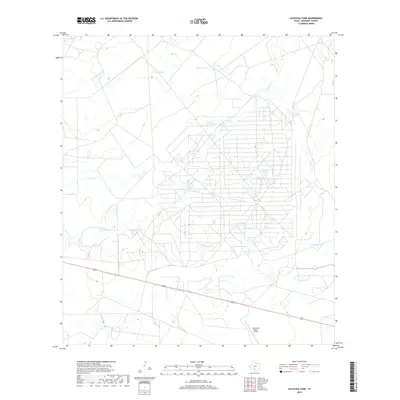
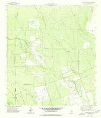
2019 Map of Sacatosa Tank
USGS Topo · Published 2019About this map
The arid landscape of Maverick County is defined here by an extensive network of water management features and ranching infrastructure. Sacatosa Tank and Black Hill Tank anchor a territory crisscrossed by numerous intermittent drainage systems, including Chimeneas Cr and Chueco Cr. The proliferation of named water catchments like Antonio Tank, Chanto Tank, and Jay Tank indicates the vital importance of water storage in this South Texas brush country. A dense, geometric grid of ranch roads and seismic lines dominates the central and eastern portions of the map, illustrating the systematic land use associated with large-scale ranching operations and potential resource exploration. The presence of the Comanche Ranch Airport in the south, positioned near Highway 277, highlights the remote nature of these holdings and the necessity of private aviation for regional connectivity.
Find a feature on this map
17 named features on this map. Tap any name to fly to it.
Don’t see what you’re looking for? This feature index may not catch every label — zoom into the map to look around manually.
Map Details
Editions of this 2019 Sacatosa Tank Map
This is the sole edition of this map. No revisions or reprints were ever made.
Other maps of this area

1940 · Cometa
USGS Topo · 1:62,500

1940 · Eagle Pass
USGS Topo · 1:62,500

1940 · Paloma
USGS Topo · 1:62,500

1940 · Chacon Creek
USGS Topo · 1:62,500

1958 · Eagle Pass
USGS Topo · 1:250,000

1965 · Eagle Pass
USGS Topo · 1:250,000
1974 · Cometa
USGS Topo · 1:24,000
1974 · Indian Tank
USGS Topo · 1:24,000
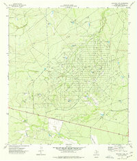
1974 · Sacatosa Tank
USGS Topo · 1:24,000
1974 · Chacon Creek SE
USGS Topo · 1:24,000