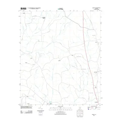
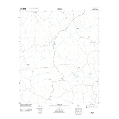
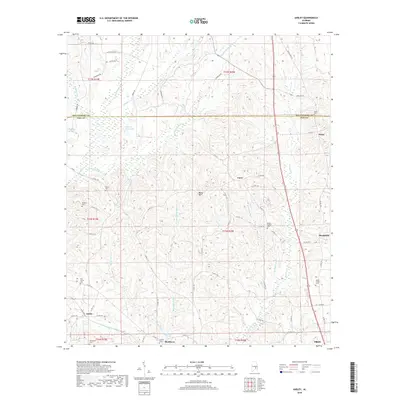
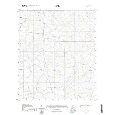
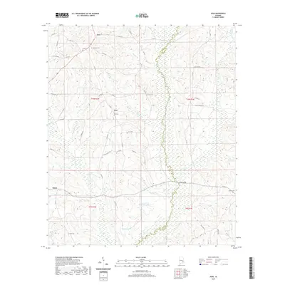
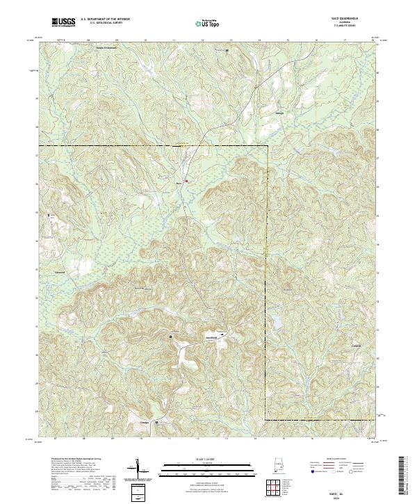
1968 Map of Saco
USGS Topo · Published 1991About this map
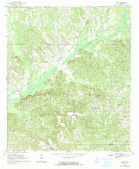
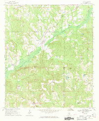
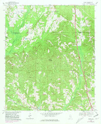
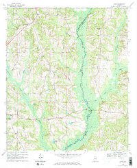
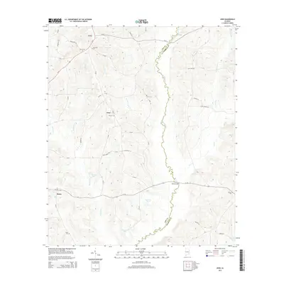
The Conecuh River meanders across this landscape during the mid-1960s, forming a wide floodplain that separates the northern and southern portions of the quadrangle. The Central of Georgia railroad provides a primary transportation spine, passing through the settlement of Saco and near the community at Linwood. The terrain is characterized by numerous small ridges and valleys, with prominent features like Backbone and Wolfpit Hill rising above the winding creek beds.
Find a feature on this map
41 named features on this map. Tap any name to fly to it.
Don’t see what you’re looking for? This feature index may not catch every label — zoom into the map to look around manually.
Map Details
Editions of this 1968 Saco Map
2 editions found
Historical Maps of Beans Crossroads Through Time
37 maps found
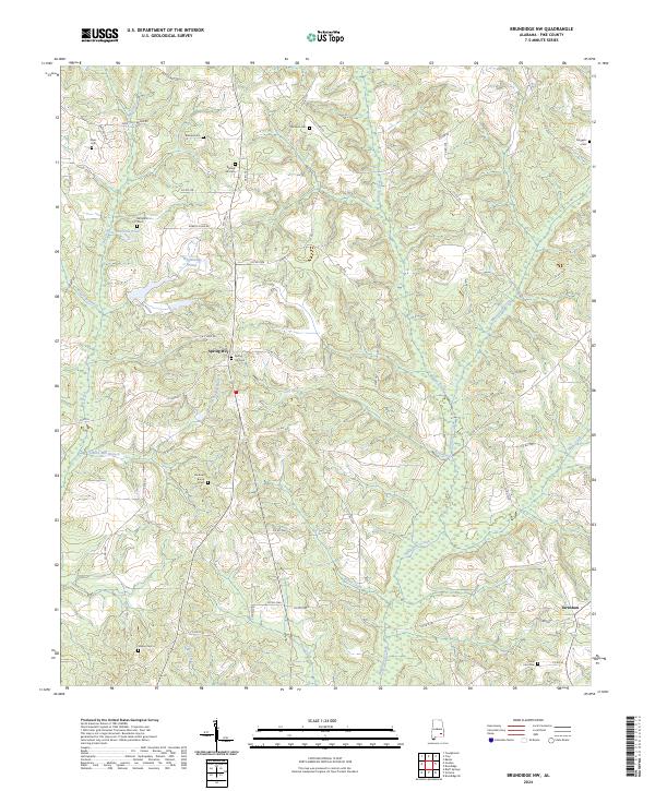
1960 Brundidge NW
Pike County, AL
1962 Brundidge NW
Pike County, AL
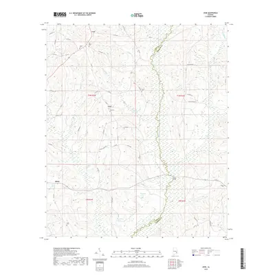
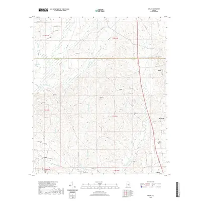
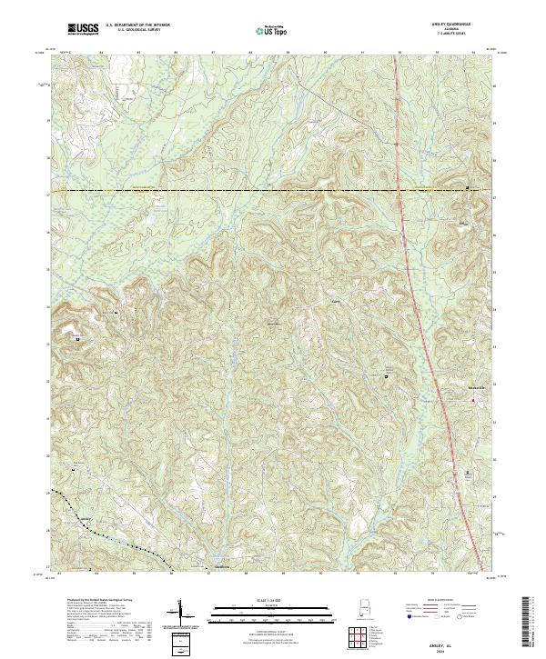
1968 Ansley
Pike County, AL
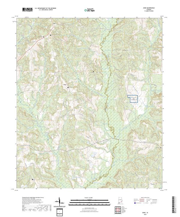
1968 Josie
Pike County, AL
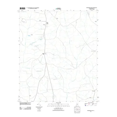
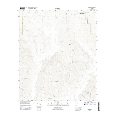
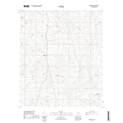
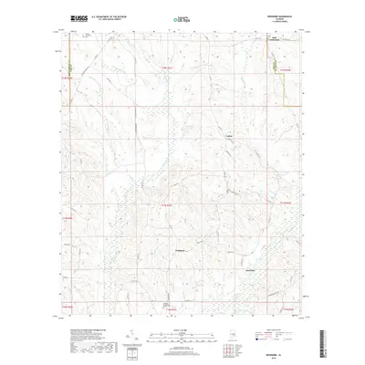
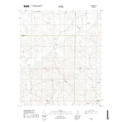
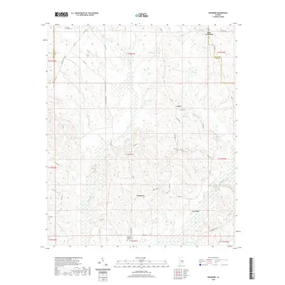
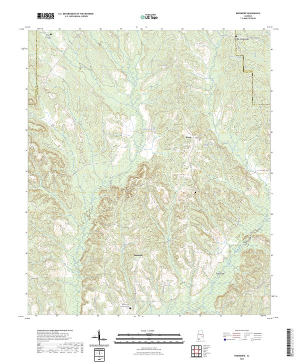
1968 Needmore
Pike County, AL
1968 Saco
Pike County, AL
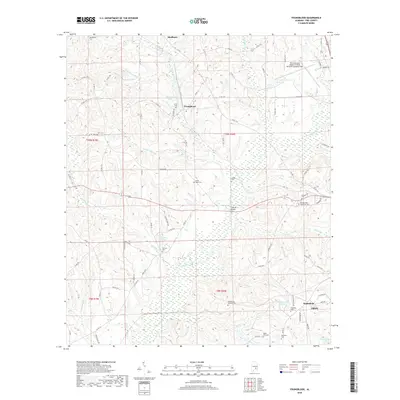
1968 Youngblood
Pike County, AL
2011 Ansley
Pike County, AL
2011 Brundidge NW
Pike County, AL
2011 Josie
Pike County, AL
2011 Needmore
Pike County, AL
2011 Saco
Pike County, AL
2011 Youngblood
Pike County, AL
2014 Ansley
Pike County, AL
2014 Brundidge NW
Pike County, AL
2014 Josie
Pike County, AL
2014 Needmore
Pike County, AL
2014 Saco
Pike County, AL
2014 Youngblood
Pike County, AL
2018 Ansley
Pike County, AL
2018 Brundidge NW
Pike County, AL
2018 Josie
Pike County, AL
2018 Needmore
Pike County, AL
2018 Saco
Pike County, AL
2018 Youngblood
Pike County, AL
2020 Ansley
Pike County, AL
2020 Brundidge NW
Pike County, AL
2020 Josie
Pike County, AL
2020 Needmore
Pike County, AL

2020 Saco
Pike County, AL
2020 Youngblood
Pike County, AL
2024 Ansley
Pike County, AL
2024 Brundidge NW
Pike County, AL
2024 Josie
Pike County, AL
2024 Needmore
Pike County, AL
2024 Saco
Pike County, AL
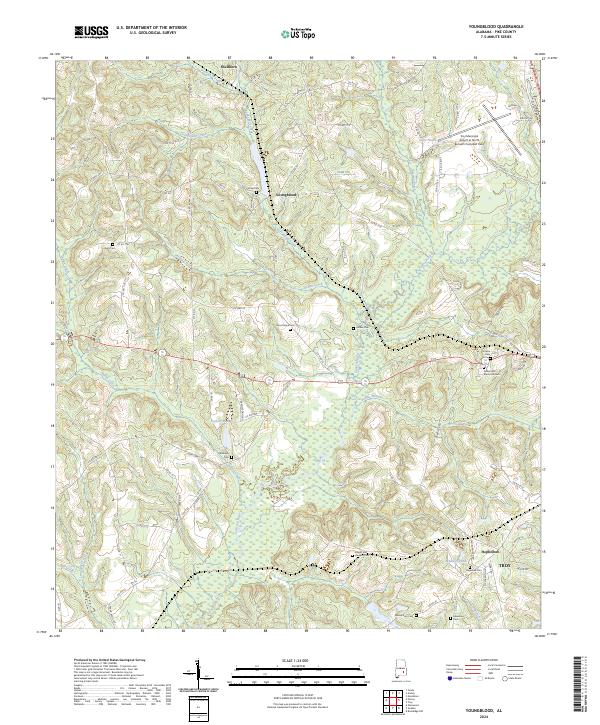
2024 Youngblood
Pike County, AL