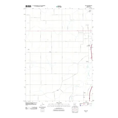
2010 Map of Saco
USGS Topo · Published 2010About this map
The Straight River winds through the southern and eastern landscape of Steele County, providing a natural focal point for the rural area around Saco. This 2010 survey reflects a period of modern expansion on the outskirts of Owatonna, visible in the presence of the Owatonna College and University Center and the Owatonna Municipal Airport. Despite this growth, the map preserves the older agricultural and community identity of the region through its numerous local burial grounds, including the Bohemian Cemetery, Lemond Cemetery, and Mueller Cemetery. The grid of county and township roads like Lemond Rd and County Hwy 30 connects these quiet rural landmarks to the more developed recreation at River View Campground. It is a landscape where established family-named sites and 19th-century cemeteries sit alongside the educational and aviation infrastructure of the 21st century.
Find a feature on this map
39 named features on this map. Tap any name to fly to it.
Don’t see what you’re looking for? This feature index may not catch every label — zoom into the map to look around manually.
Map Details
Editions of this 2010 Saco Map
This is the sole edition of this map. No revisions or reprints were ever made.
Other maps of this area

1953 · Saint Paul
USGS Topo · 1:250,000

1954 · Mason City
USGS Topo · 1:250,000

1957 · Mason City
USGS Topo · 1:250,000

1958 · Mason City
USGS Topo · 1:250,000

1959 · Saint Paul
USGS Topo · 1:250,000

1962 · Medford East
USGS Topo · 1:24,000

1962 · Morristown
USGS Topo · 1:24,000

1962 · Owatonna
USGS Topo · 1:24,000

1962 · Saco
USGS Topo · 1:24,000

1962 · Meriden
USGS Topo · 1:24,000