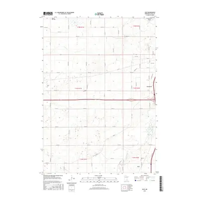
2016 Map of Saco
USGS Topo · Published 2016About this map
Owatonna sits at the eastern edge of this Steele County landscape, where the Straight River flows northward toward the Owatonna Degner Regional Airport. The terrain reflects a transition between established municipal development and the rural grid of the surrounding townships. To the south, the small settlement of Saco serves as a local landmark near the Bohemian Cem, while the western portions of the map are defined by significant hydrological features including the Pelican Lake Bed and Swan Lake.
Find a feature on this map
36 named features on this map. Tap any name to fly to it.
Don’t see what you’re looking for? This feature index may not catch every label — zoom into the map to look around manually.
Map Details
Editions of this 2016 Saco Map
This is the sole edition of this map. No revisions or reprints were ever made.
Other maps of this area

1953 · Saint Paul
USGS Topo · 1:250,000

1954 · Mason City
USGS Topo · 1:250,000

1957 · Mason City
USGS Topo · 1:250,000

1958 · Mason City
USGS Topo · 1:250,000

1959 · Saint Paul
USGS Topo · 1:250,000

1962 · Medford East
USGS Topo · 1:24,000

1962 · Morristown
USGS Topo · 1:24,000

1962 · Owatonna
USGS Topo · 1:24,000

1962 · Saco
USGS Topo · 1:24,000

1962 · Meriden
USGS Topo · 1:24,000