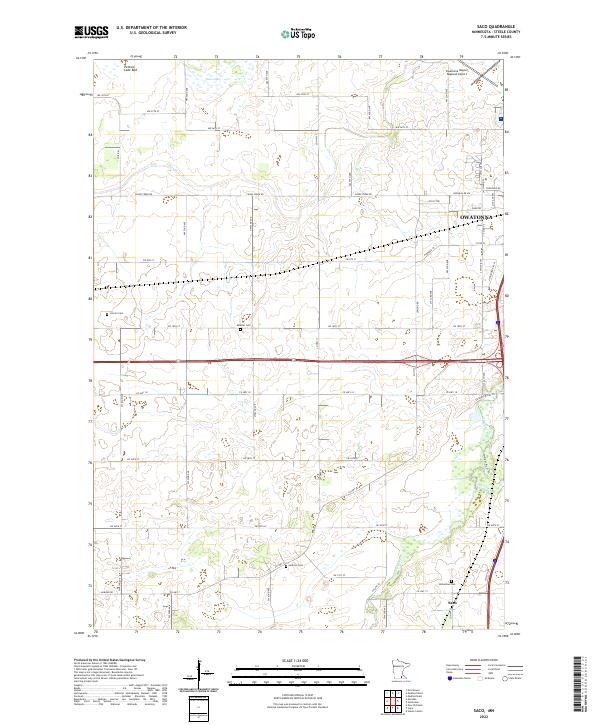
2022 Map of Saco
USGS Topo · Published 2022About this map
Owatonna anchors the northeast corner of this Steele County survey, where the urban edge meets the expansive agricultural landscape of south-central Minnesota. The Straight River flows northward through the eastern sections, paralleled by the Straight River Trl, while the smaller Turtle Cr joins the drainage system near the southern boundary. This area is characterized by its glacial hydrology, evidenced by the presence of Swan Lake and the marshy remnants of the Pelican Lake Bed in the northwest.
Find a feature on this map
62 named features on this map. Tap any name to fly to it.
Don’t see what you’re looking for? This feature index may not catch every label — zoom into the map to look around manually.
Map Details
Editions of this 2022 Saco Map
This is the sole edition of this map. No revisions or reprints were ever made.
Other maps of this area

1953 · Saint Paul
USGS Topo · 1:250,000

1954 · Mason City
USGS Topo · 1:250,000

1957 · Mason City
USGS Topo · 1:250,000

1958 · Mason City
USGS Topo · 1:250,000

1959 · Saint Paul
USGS Topo · 1:250,000

1962 · Medford East
USGS Topo · 1:24,000

1962 · Morristown
USGS Topo · 1:24,000

1962 · Owatonna
USGS Topo · 1:24,000

1962 · Saco
USGS Topo · 1:24,000

1962 · Meriden
USGS Topo · 1:24,000