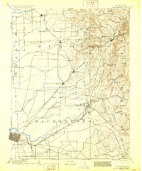
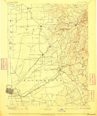
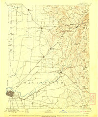
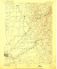
1892 Map of Sacramento
USGS Topo · Published 1892About this map
Sacramento anchor's the southwestern corner of this survey, which captures the burgeoning rail and river networks of Northern California in the late 19th century. The landscape is defined by the convergence of the American River and its various forks, such as the North Fork and South Fork, which carve through the foothills of the Sierra Nevada. The Central Pacific Railroad and the Placerville & Sacramento R. R. serve as the primary arteries for commerce, connecting established mining and agricultural hubs like Lincoln, Rocklin, and Auburn.
Find a feature on this map
99 named features on this map. Tap any name to fly to it.
Don’t see what you’re looking for? This feature index may not catch every label — zoom into the map to look around manually.
Map Details
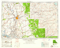
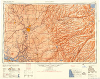
Editions of this 1892 Sacramento Map
5 editions found

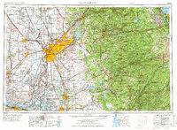
Historical Maps of Sacramento Through Time
8 maps found