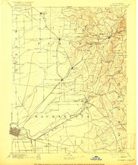
1892 Map of Sacramento
USGS Topo · Published 1916About this map
Sacramento sits at the heart of this late-19th-century survey, surrounded by a burgeoning network of rail lines and early roadside stations. The Central Pacific Railroad and the Placerville & Sacramento Valley Railroad diverge from the river city, linking the valley floor to the Sierra Nevada foothills. Along the routes leading toward the hills, historic stops like 6 Mile House, 12 Mile House, and 42 Mile House indicate the distance of early carriage and freighting routes.
Find a feature on this map
99 named features on this map. Tap any name to fly to it.
Don’t see what you’re looking for? This feature index may not catch every label — zoom into the map to look around manually.
Map Details
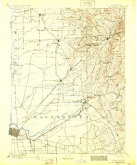
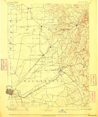
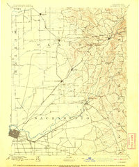
Editions of this 1892 Sacramento Map
5 editions found
Other maps of this area

1888 · Marysville
USGS Topo · 1:125,000

1888 · Smartsville
USGS Topo · 1:125,000

1889 · Jackson
USGS Topo · 1:125,000

1891 · Sacramento
USGS Topo · 1:125,000

1891 · Colfax
USGS Topo · 1:125,000

1891 · Marysville
USGS Topo · 1:125,000

1891 · Smartsville
USGS Topo · 1:125,000

1891 · Placerville
USGS Topo · 1:125,000

1892 · Jackson
USGS Topo · 1:125,000

1892 · Sacramento
USGS Topo · 1:125,000