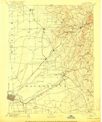
1956 Map of Sacramento
USGS Topo · Published 1956About this map
The confluence of the Sacramento River and the American River anchors this regional study, which captures the Central Valley and the rising slopes of the Sierra Nevada during the mid-1950s. The urban sprawl of Sacramento is clearly visible, showing the early footprints of McClellan Air Force Base and Mather Air Force Base alongside the prominent State Capitol. To the west, the campus of the University of California, Davis sits at the edge of the agriculturally intensive Yolo County lands, while the southern reaches of the map detail the complex waterway networks of the Sacramento River delta and Suisun Bay.
Find a feature on this map
279 named features on this map. Tap any name to fly to it.
Don’t see what you’re looking for? This feature index may not catch every label — zoom into the map to look around manually.
Map Details
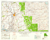
Editions of this 1956 Sacramento Map
2 editions found

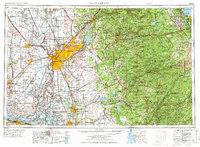
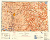
Historical Maps of Sacramento Through Time
8 maps found