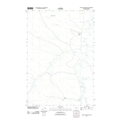
2011 Map of Saddle Horse Butte
USGS Topo · Published 2011About this map
Saddle Horse Butte rises above the drainage basins of eastern Custer County, overlooking a network of ephemeral and perennial waterways. This 2011 survey illustrates the modern ranching landscape, characterized by isolated water management structures like the M Hardy Number 3 Dam, Fox Number 1 Dam, and Fox Dam. These features indicate the critical importance of water conservation in the semi-arid Montana plains. The meandering path of Mizpah Creek serves as the primary hydrological artery, joined by numerous tributaries including Sand Creek, L O Creek, and Dawson Creek. Human infrastructure is sparse, centered primarily on the corridor of Mizpah Rd, reflecting a landscape dedicated to large-scale land use rather than concentrated settlement.
Find a feature on this map
12 named features on this map. Tap any name to fly to it.
Don’t see what you’re looking for? This feature index may not catch every label — zoom into the map to look around manually.
Map Details
Editions of this 2011 Saddle Horse Butte Map
This is the sole edition of this map. No revisions or reprints were ever made.
Other maps of this area

1953 · Miles City
USGS Topo · 1:250,000

1954 · Ekalaka
USGS Topo · 1:250,000

1956 · Ekalaka
USGS Topo · 1:250,000

1957 · Miles City
USGS Topo · 1:250,000

1958 · Miles City
USGS Topo · 1:250,000

1958 · Ekalaka
USGS Topo · 1:250,000

1965 · Ekalaka
USGS Topo · 1:250,000

1969 · Forty Creek
USGS Topo · 1:24,000

1969 · Miles City Creek
USGS Topo · 1:24,000
1969 · Beebe
USGS Topo · 1:24,000