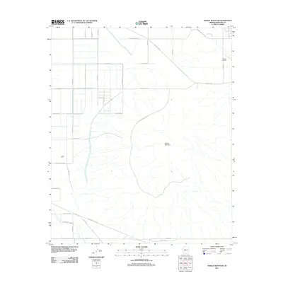
2011 Map of Saddle Mountain
USGS Topo · Published 2011About this map
Saddle Mountain dominates the central landscape of this Maricopa County desert region, serving as a primary navigational landmark for the surrounding arid plains. The terrain is defined by a grid of numbered avenues and named corridors such as W Salome Hwy and El Paso Natural Gas Rd, which cut through the open desert scrub. Water management and transit in this environment are marked by features like Burger Well and the braided courses of Delaney Wash and Centennial Wash. Human activity is concentrated around scattered infrastructure, notably the Mauldin Airstrip in the northeast and the Saddle Mountain Trl, which provides access to the higher elevations. This 2011 survey illustrates the intersection of industrial utility and natural landforms in the Arizona desert, where local roads often follow property lines and utility easements across the basin floor.
Find a feature on this map
30 named features on this map. Tap any name to fly to it.
Don’t see what you’re looking for? This feature index may not catch every label — zoom into the map to look around manually.
Map Details
Editions of this 2011 Saddle Mountain Map
This is the sole edition of this map. No revisions or reprints were ever made.
Other maps of this area

1942 · Vicksburg
USGS Topo · 1:250,000

1954 · Phoenix
USGS Topo · 1:250,000

1957 · Phoenix
USGS Topo · 1:250,000

1958 · Phoenix
USGS Topo · 1:250,000

1960 · Phoenix
USGS Topo · 1:250,000

1961 · Big Horn Mts
USGS Topo · 1:62,500

1962 · Belmont Mts
USGS Topo · 1:62,500

1962 · Cortez Peak
USGS Topo · 1:62,500

1962 · Arlington
USGS Topo · 1:62,500

1969 · Phoenix
USGS Topo · 1:250,000