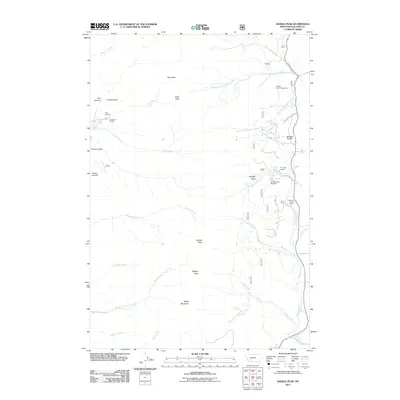
2011 Map of Saddle Peak
USGS Topo · Published 2011About this map
Ross Peak and Saddle Peak anchor the high ridgeline of the Bridger Range in this 2011 survey of Gallatin County. The topography is defined by sharp elevation changes between peaks like Baldy Mountain and the drainage basins of the North Fork and Middle Fork Brackett Creek. Human activity is concentrated along the eastern slopes and canyon floors, where the Bridger Bowl Ski Area and Brackett Creek Campground indicate a landscape heavily used for recreation. Local heritage is visible in labels for the Ryen Sawmill and Spring Hill Pavilion on the western edge, while ranching footprints remain at the Forsythe Ranch and Flaming Arrow Ranch. These features, along with named corridors like Bridger Canyon Dr, show the modern intersection of traditional agriculture and mountain tourism.
Find a feature on this map
41 named features on this map. Tap any name to fly to it.
Don’t see what you’re looking for? This feature index may not catch every label — zoom into the map to look around manually.
Map Details
Editions of this 2011 Saddle Peak Map
This is the sole edition of this map. No revisions or reprints were ever made.
Other maps of this area

1888 · Three Forks
USGS Topo · 1:250,000

1891 · Livingston
USGS Topo · 1:250,000

1893 · Livingston
USGS Topo · 1:250,000

1894 · Three Forks
USGS Topo · 1:250,000

1895 · Three Forks
USGS Topo · 1:250,000

1947 · Bozeman
USGS Topo · 1:250,000

1948 · Bozeman
USGS Topo · 1:250,000

1950 · Belgrade
USGS Topo · 1:62,500

1951 · Bozeman Pass
USGS Topo · 1:62,500

1951 · Sedan
USGS Topo · 1:62,500