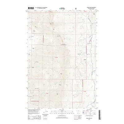
2014 Map of Saddle Peak
USGS Topo · Published 2014About this map
The Bridger Range backbone dominates this 2014 topographic study of the Montana high country, defined by high-elevation summits including Saddle Peak, Ross Peak, and Baldy Mtn. Much of the terrain lies within the Gallatin National Forest, where steep drainages like Truman Gulch and Bostwick Canyon cut westward toward the valley floor. The map highlights the transition from the protected forest wilderness to the recreational and residential developments near the community of Bridger.
Find a feature on this map
54 named features on this map. Tap any name to fly to it.
Don’t see what you’re looking for? This feature index may not catch every label — zoom into the map to look around manually.
Map Details
Editions of this 2014 Saddle Peak Map
This is the sole edition of this map. No revisions or reprints were ever made.
Other maps of this area

1888 · Three Forks
USGS Topo · 1:250,000

1891 · Livingston
USGS Topo · 1:250,000

1893 · Livingston
USGS Topo · 1:250,000

1894 · Three Forks
USGS Topo · 1:250,000

1895 · Three Forks
USGS Topo · 1:250,000

1947 · Bozeman
USGS Topo · 1:250,000

1948 · Bozeman
USGS Topo · 1:250,000

1950 · Belgrade
USGS Topo · 1:62,500

1951 · Bozeman Pass
USGS Topo · 1:62,500

1951 · Sedan
USGS Topo · 1:62,500